By Craig Martin
In the early days of Los Alamos, hikers created trails by traveling along the most convenient path between two points. This technique resulted in trails that crossed fragile soils, went straight uphill, followed the path of flowing water, or traversed patches of uncommon plant species. These issues cause environmental degradation and a lot of maintenance requirements.
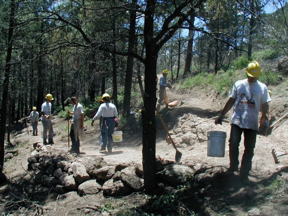
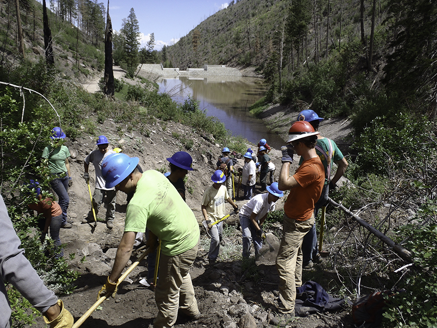
Modern trail builders, like myself, usually inherit a trail network that is not sustainable. Our task is to modify the existing system to reduce erosion, cut down on maintenance, and to redesign trails that are suitable for a variety of users, including hikers, mountain bikers, runners, equestrians, dog walkers, and families. Next, we look at the overall network and design ways to connect loops, create trails for all user levels, and to create a variety of trips that are interesting for different user groups.
The first time I tried to improve the Los Alamos trail network, I took a section of straight uphill trail that had developed into a rut about 18 inches deep and created a curving path that connected the same two points by a sweeping route. We then tastefully blocked off the old path. The next day I got an angry call from a ranking County official, who said: “You ruined the best trail in the county! It had great views and got me to work one minute faster than your new route.”
My answer was, “This isn’t about you. It’s about the trail.”
Sustainable trail design also requires a thoughtful approach to reducing the amount of water that flows down a trail. The best techniques are two-fold: don’t place your trail across contours, and find frequent, bicycle-friendly ways to take water off the trail.

It’s tough to create a sustainable network on existing trails that are frequently traveled by a variety of users. You start with the severely eroded sections and find suitable reroutes. This generally involves making the trail longer by contouring the trail slightly askew of contour lines, descending gradually instead of suddenly.
The trickiest part is putting in turns that reverse direction on the long legs of a trail’s descent. In the old days of trail building, you just abruptly turned about 180 degrees, but since the advent of mountain bikes, those turns need to have a larger radius for the bike tires. It took me a while to learn how to get this right, and there are still many tight turns on the trails around town.
Creating water diversions is a challenge, too. Twenty years ago, immediately following the Cerro Grande fire, there was so much runoff from the slopes that we had to use old-fashioned rock or log water bars angled across trails to divert big water flows — not very bike-friendly. As runoff decreased with increasing vegetation on the hills, we began using grade dips, low-sloped trenches to carry water off the trail.
In Los Alamos, however, soil and rock conditions often make it impossible to dig deep enough for an effective grade dip. In this case, and as often as you can in other terrain, you can put a short uphill curve in the trail immediately followed by a downhill curve. The resulting inverted U is called a grade reversal. If you’d like to learn more about these techniques, the U.S. Forest Service details these water removal methods here.
Reducing water on the trail by careful design and water controls reduces the need for frequent maintenance. The goal is always to create sustainable trails that only need to be visited a couple times a year. In Los Alamos, many trails have not been redesigned using sustainable techniques and still require a lot of maintenance. With 60 plus miles of trails surrounding Los Alamos and White Rock, volunteer efforts can’t quite keep up with what is needed.
Particularly now, as we practice social isolation, we all appreciate good trail design and a diverse trail network. We owe thanks to all the trail users who have contributed thousands of hours over the past 20 years to develop, design, build, promote, maintain, and advocate for the trails in and around Los Alamos.
